


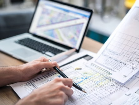
Commercial Boundary Drafting
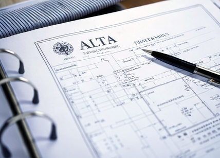
ALTA / NSPS Surveys
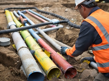
Utility Mapping
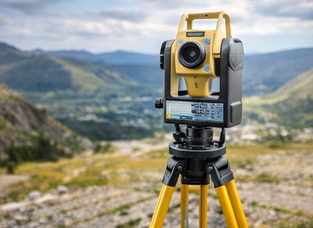
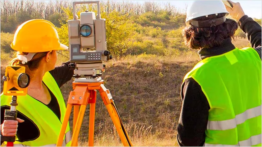
Boundary & Topo Surveys
Photogrammetry Processing
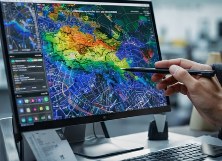
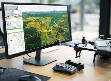
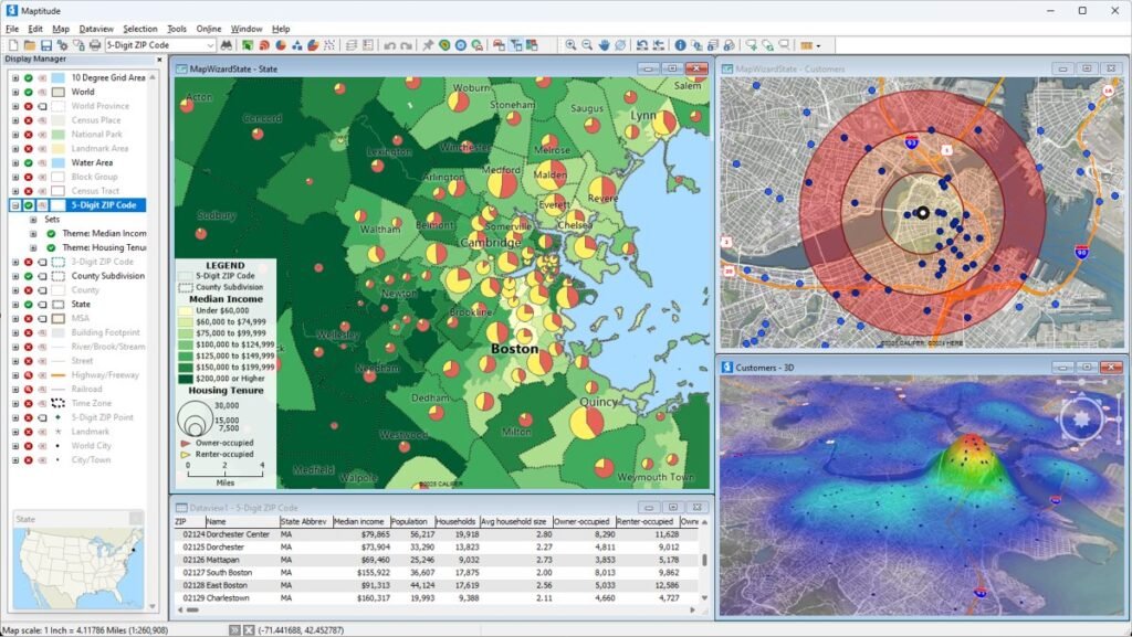
GIS & LiDAR Processing
How Accurate Survey Drafting Improves Project Efficiency
As global macroeconomic conditions worsen and funding slowdown continues, Indian startups are cutting their spends on an integral part of tech businesses.
Role of LiDAR and GIS in Modern Survey Drafting
Cybersecurity drama strikes again as human error leads to China’s biggest data breach and perhaps the most significant hack of personal information in history.
Why Outsourcing Survey Drafting is a Smart Business Move
Ever review your email in the morning and wonder why there is so much spam coming through? It takes time to differentiate between the emails…
Tecnologia implemented such a powerful platform that we had no break in service when our employees had to work from home due to the COVID-19 pandemic. We weren’t concerned about how to shift to a remote working environment because Integris facilitated a seamless transition.
Amanda ParksNetwork Manager, Healthcare Organization 
Tecnologia has been an outstanding partner. Their team is professional, knowledgeable and customer-service driven. Tecnologia proactive collaborative approach has been critical in helping us build an IT infrastructure that enables our success today and supports our long-term positioning strategy.
John LabkinsPartner & CEO, Telecommunication Company
I’ve been a customer for more than a decade. Tecnologia is an example of the way Managed Services should be done. They do their very best to make sure you succeed. If there’s an issue, they step in immediately. We will continue to be a customer for years to come.
Daniel LegranteCIO, Restaurant Product Supplier